You must be a Canadian citizen, permanent resident, or person who has been granted refugee status in Canada.
You must be a Canadian citizen, permanent resident, or person who has been granted refugee status in Canada.
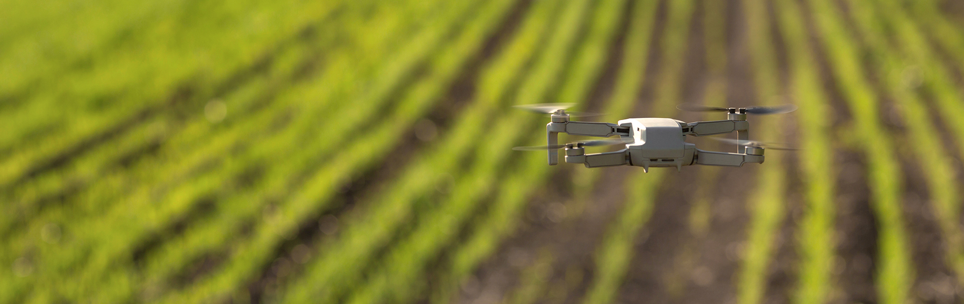
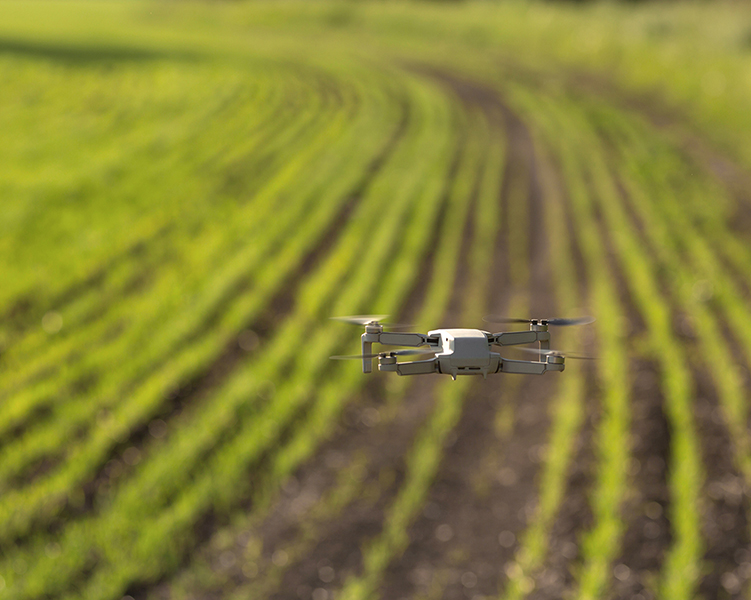
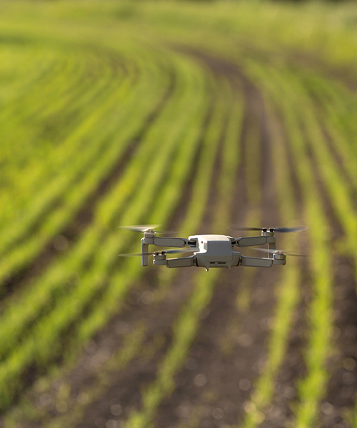
LiDAR (Light Detection and Ranging) is an optical remote sensing technology that uses laser pulses to determine the distance between the sensor and a surface or object. LiDAR has emerged as one of the most important sources of data for topographic mapping, vegetation analysis, and 3D modeling of infrastructure. Specific uses of this technology include floodplain mapping, transportation planning and design, resource and environmental management, and emergency response. New uses for LiDAR data are emerging. A thorough understanding of LiDAR technology and its application in Geographic Information Systems (GIS) will assist watershed and conservation professionals to be on the leading edge of data-driven adaptations for the changing natural environment.
This microcredential is an introduction to the capabilities of LiDAR and associated technologies to support watershed resilience. Learners will use data sources in a broad range of applications to understand ecosystems and build watershed resilience.
This training may be of interest to individuals working with watershed organizations, public school teachers, environmental organizations, and anyone interested in environmental sustainability.
The microcredential is online and asynchronous. Designed to offer flexibility, participants commence at any time and progress at their own pace.
The creation and development of microcredentials is driven by employers and industry sectors to meet specific employer workforce needs.
By the end of this training, learners will create a plan to use geospatial data to support watershed resilience.
The assessment for this microcredential will require learners to:
In order to develop competency, learners will: