You must be a Canadian citizen, permanent resident, or person who has been granted refugee status in Canada.
You must be a Canadian citizen, permanent resident, or person who has been granted refugee status in Canada.
Precision Agriculture (PA) is a method of measuring and managing variability to ensure the right products at the right rates are applied in the right place and at the right time. This is known as 4R nutrient stewardship.
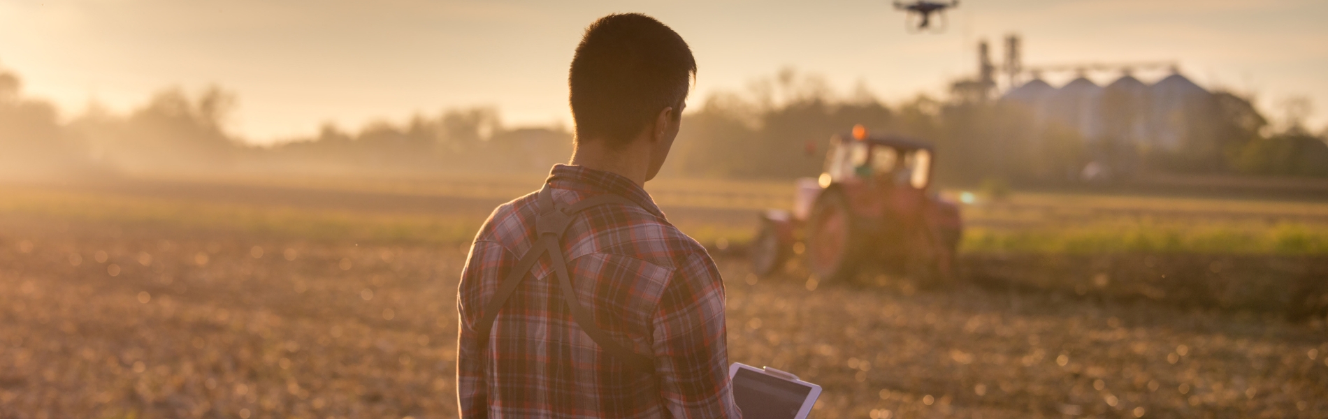
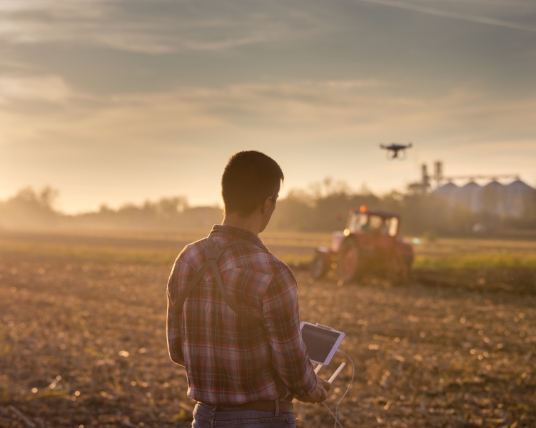
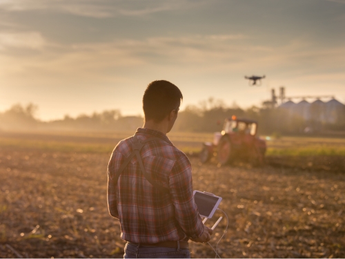
In this microcredential, learners will explore precision agriculture tools and make data-informed decisions for a farming operation. Learners will participate in real-world demonstrations of data collection using PA tools and technologies and access sources of existing data. Learners will explore how data informs applications using VRA-capable equipment such as fertilizer spreaders, sprayers with nozzle control, or VR-capable planters.
The microcredential is online and asynchronous. Designed to offer flexibility, participants commence at any time and progress at their own pace. With a duration of 24 hours, the course is to be completed within a period of 5 weeks from the start date. Throughout the course, an experienced instructor with a strong background in agriculture will provide support and guidance. In-person training will be available to support learners locally, on Prince Edward Island.
In completing this microcredential, participants are contributing to global efforts to address climate change and foster sustainable practices.
Holland College has engaged and convened discussion(s) with a network of leading agricultural stakeholders across Prince Edward Island, including the PEI Agriculture Sector Council, PEI Federation of Agriculture, PEI Potato Board, East Prince Agri-Environment Association, the PEI Department of Agriculture & Land, and the PEI Department of Environment, Energy & Climate Action.
Precision Agriculture assumes that not all parts of a field are uniform and that by measuring and managing variability in the field, we can ensure we are not over-applying inputs such as fertilizer, pesticides, or water.
PA involves the use of many tools and technologies such as: global positioning systems (GPS), geographic information systems (GIS), remote sensing by satellite/drone/manned aircraft, proximal sensing by way of soil mapping technologies, LiDAR, yield monitors, variable rate application (VRA), weather stations and soil moisture monitoring systems, and more.
By the end of this microcredential, learners will be prepared to use data to implement technologies for a farm operation to optimize crop inputs, limit negative environmental impacts, and increase efficiency.
Learners will:
To successfully complete the microcredential, learners will be required to: